Pilotage Plan: Boston, Massachusetts to Exumas, Bahamas
Introduction
Embarking on a journey from Boston to the Exumas is an ambitious yet rewarding adventure for experienced boaters. This route takes you through various coastal environments, provides ample opportunities for exploration, and exposes you to breathtaking scenery. The journey stretches across challenging waters, and careful planning is essential to ensure safety and enjoyment.
Route Overview
The journey will cover approximately 1,200 nautical miles, primarily through the Atlantic Ocean, providing a mix of open water passage and navigational challenges. Along the way, you'll have opportunities for shelter in several bays and harbors, as well as numerous points of interest that can transform your trip from a mere passage to an unforgettable experience.
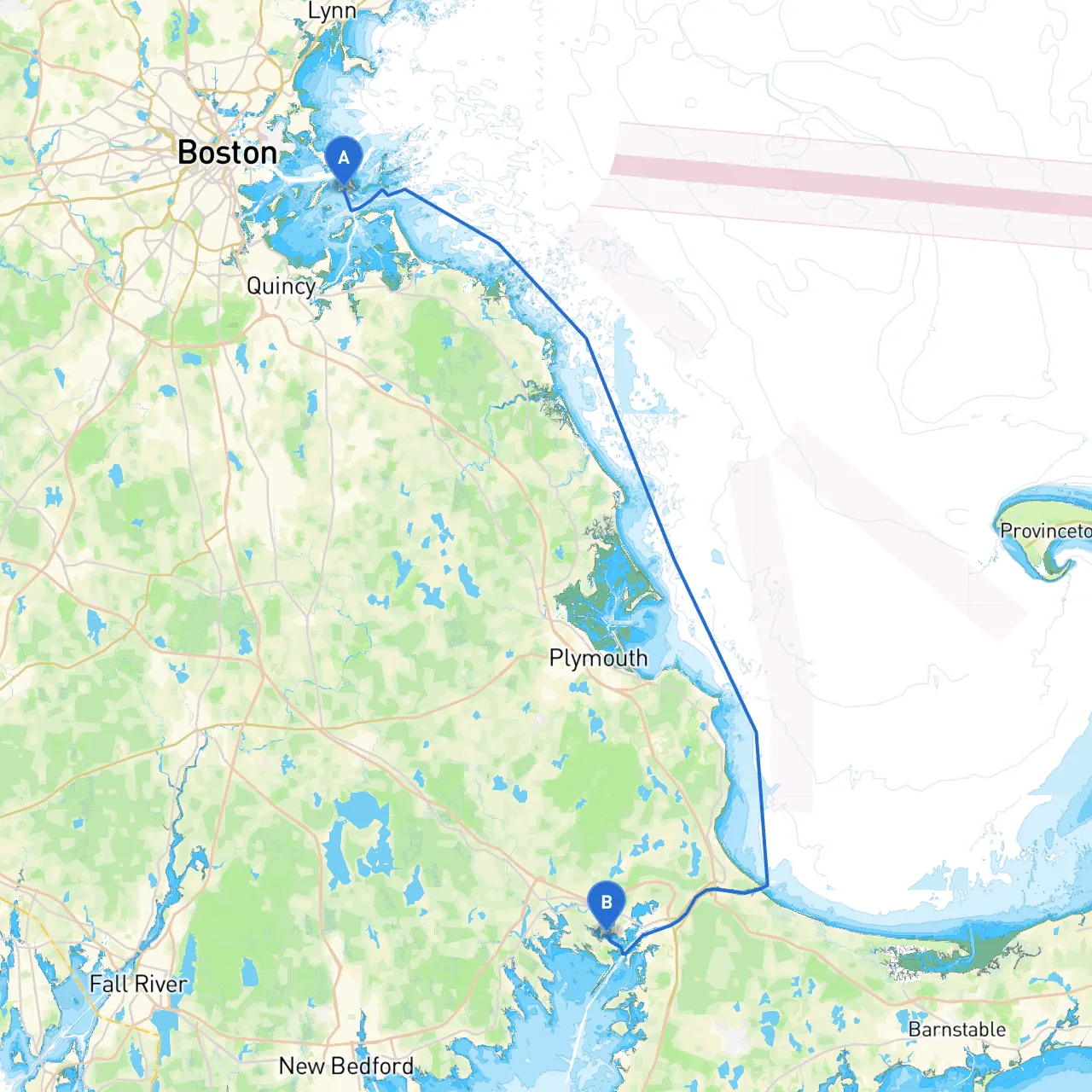
Segment 1: Boston, MA to Cape Cod Canal
Distance: 60 NM Navigation Considerations:
- Depart Boston Harbor navigating through the Charles River and toward the harbor mouth. Pay attention to the busy shipping lanes and fortified navigation aids.
- Keep to the marked channels heading toward the Cape Cod Canal entrance. The Canal itself provides shelter and a simpler navigational route to avoid some of the Atlantic's open waters.
Points of Interest:
- Nantucket Sound: A fine area to explore, with opportunities for fishing and scenic views.
- Monument Beach: An excellent spot for a quick stop, offering family-friendly beaches and picnic areas.
Shelter Options:
- Buzzards Bay: Offers multiple harbors and nearby towns to regroup and resupply if needed.
Segment 2: Cape Cod Canal to Block Island, RI
Distance: 35 NM Navigation Considerations:
- Upon exiting the canal, steering toward Block Island requires careful attention to shifting tides and rip currents near the Point Judith area. Utilize the well-placed navigation buoys.
Points of Interest:
- Block Island: Known for its stunning beaches and picturesque cliffs. Enjoy the local eateries and bike rentals.
Shelter Options:
- New Harbor: A well-protected harbor ideal for seasonally mooring and protection from bad weather.
Segment 3: Block Island to Long Island Sound
Distance: 40 NM Navigation Considerations:
- As you transit through Long Island Sound, keep track of ferry traffic and maintain a watchful eye for buoys marking shoals and other hazards. Also, observe any local regulations regarding speed zones.
Points of Interest:
- Southport Harbor: A charming town for a brief shore visit with shops and restaurants.
Shelter Options:
- Port Jefferson: An excellent harbor with facilities and services.
Segment 4: Long Island Sound to Sandy Hook, NJ
Distance: 60 NM Navigation Considerations:
- Approaching Sandy Hook, you can face significant tidal changes. Be mindful of currents and look ahead for marking buoys as you navigate toward the harbor.
Points of Interest:
- Sandy Hook National Park: A wonderful area for nature exploration, swimming, and beach activities.
Shelter Options:
- Monmouth Beach offers safe refuge should the weather become adverse.
Segment 5: Sandy Hook to Cape May, NJ
Distance: 50 NM Navigation Considerations:
- Navigate through the Raritan Bay and toward the Shrewsbury River, keeping an eye on the busy shipping lanes and ferry traffic in the area.
Points of Interest:
- Cape May: Famous for its Victorian architecture and lively beach promenade.
Shelter Options:
- Cape May Harbor: A well-populated harbor where you can find supplies and good protection from eastern swells.
Segment 6: Cape May to Chesapeake Bay
Distance: 60 NM Navigation Considerations:
- Crossing over into the Chesapeake Bay area provides a mix of busy shipping lanes and peaceful waterways. Watch for commercial traffic and respect local fishing areas.
Points of Interest:
- Rehoboth Beach, DE: A lively tourist destination with entertainment options, dining, and beaches.
Shelter Options:
- Chesapeake Harbor: Serves as an ideal spot for shelter with various amenities.
Final Stretch: Chesapeake Bay to Exumas, Bahamas
Distance: 700 NM (aggregate) Navigation Considerations:
- As you head out towards the Bahamas, be prepared for open ocean navigation. Watch for weather systems and ensure your vessel has suitable offshore capabilities. Understand the regulations for entering Bahamian waters—specifically customs and immigration procedures.
Points of Interest:
- Bimini: Your first stop in the Bahamas, known for its diving and fishing.
Shelter Options:
- Bimini Harbor: Ideal for refueling and resupplying before you head further into the Exumas.
Conclusion
This journey embodies the spirit of adventure, combining elements of scenic beauty with opportunities for exploration and relaxation. The route is best suited for experienced boaters comfortable with open-water navigation and capable of adjusting plans based on weather conditions. Remember to equip your vessel appropriately, use navigational aids effectively, and stay updated on maritime regulations.
Recommended Apps
- Savvy Navvy: Essential for route planning and weather forecasts.
- Navionics: Handy for marine charts and offline navigation.
- US Coast Guard's app: Great for safety tips and emergency numbers.
With preparedness and respect for conditions, the journey from Boston to the picturesque Exumas can be a triumphant maritime journey filled with discovery and enjoyment. Safe travels!