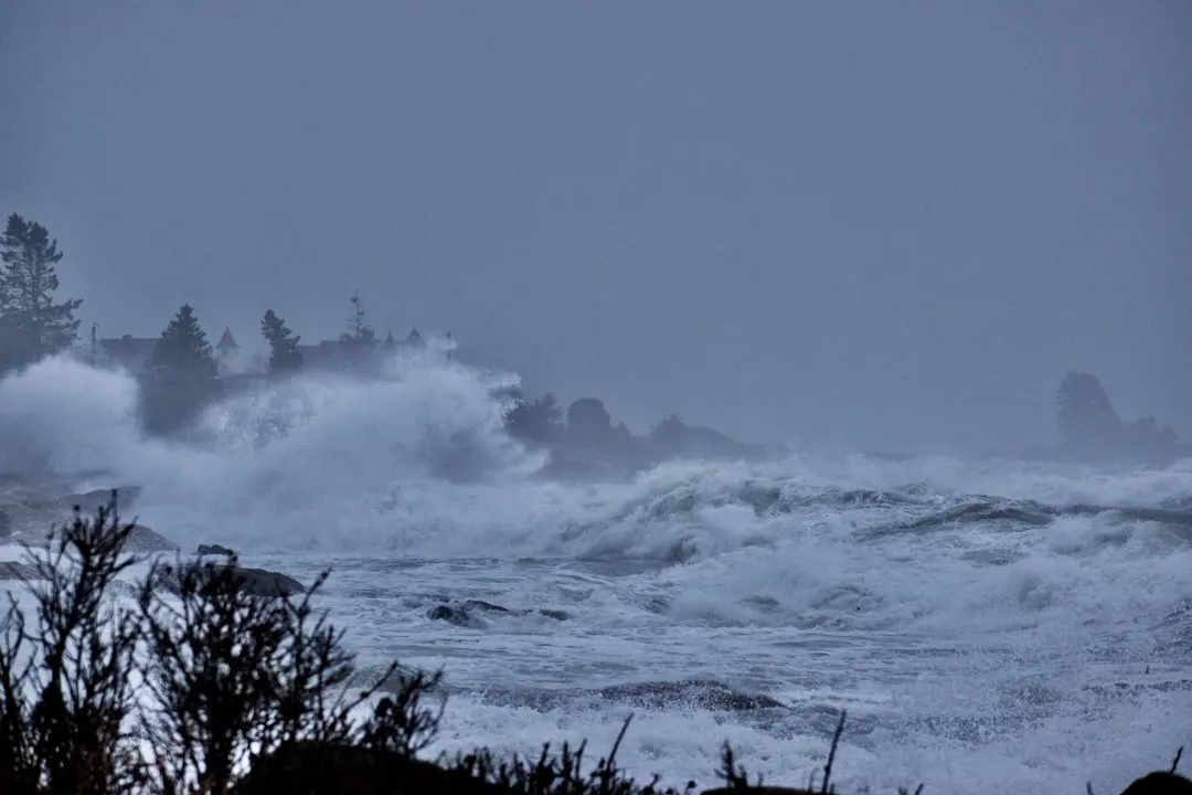
Pilotage Plan for Boat Trip from Boothbay, Maine to Cumberland, Maine
Overview:
This trip from Boothbay, Maine to Cumberland, Maine is a delightful opportunity for experienced skippers and novice boaters alike to explore the stunning coastal landscapes of Maine’s coastline while enjoying the charm of local fishing villages, abundant wildlife, and beautiful bays. The planned route ensures safety first while providing ample opportunities for exploration and shelter.
Start Point: Boothbay, Maine
Starting your journey at Boothbay (coordinates: -69.6150833333, 43.7550833333), you will find yourself in an area renowned for its picturesque harbor filled with vibrant marine activity. Be sure to stock your provisioning for the trip, as Boothbay offers several marinas and shops where you can fill up on supplies before departure.
Navigational Considerations:
As you launch your boat, pay close attention to the navigational aids within the harbor. Boothbay Harbor Lighthouse is a notable landmark that will guide you out of the tight channel and onto open waters.
Route Description:
- Departing Boothbay Harbor (0 - 5 nautical miles):
As you navigate out of Boothbay, steer towards the buoy-marked channel leading to the open ocean. Keep onboard your VHF radio to monitor Channel 16 for any marine traffic updates. The first leg will take you around the protective barrier of Southport Island, where you might encounter some recreational boaters. The waters are generally calm here, but be mindful of the occasional lobster trap buoy. - Into the Sheepscot Bay (5 - 12 nautical miles):
Upon entering Sheepscot Bay, it presents a broader expanse, surrounded by scenic shorelines. There's the potential to drop anchor in either the Damariscotta River or at Edgecomb’s Round Pond, both excellent points for shelter should weather conditions turn challenging. The Sheepscot River has numerous tidal creeks and estuaries to explore, making it a perfect stop to witness the local wildlife, including seals and various bird species. - Navigating Wiscasset Area (12 - 18 nautical miles):
Continuing towards Wiscasset, keep an eye out for the famous Wiscasset, often referred to as the prettiest village in New England. The waterfront offers excellent views of historic architecture. Just off the main channel, there are several small marinas where one could dock or take shelter. Be aware of the tidal changes as they can be significant here, affecting your cruising speed and maneuverability. - Crossing the Kennebec River (18 - 25 nautical miles):
Your route will bring you close to the entrance of the Kennebec River. Follow the well-marked channel and watch for the prominent lighthouses marking the entrance. As you enter, be vigilant of increased commercial traffic in this area, and make sure to abide by any designated no-wake zones to ensure safety for all vessels. - Arriving at Cape Elizabeth and the Passage to Cumberland (25 - 35 nautical miles):
Continuing your journey, plan to pass close to Cape Elizabeth Lighthouse, a memorable point of interest for scenic photographs. Upon reaching Casco Bay, you’ll navigate inside the bay with increased protection from waves and winds. From here, keep your course towards Cumberland, checking for local boat traffic and fishing vessels, especially in smaller channels.
End Point: Cumberland, Maine
Finally, as you reach your destination at Cumberland (coordinates: -70.182953284, 43.743011232), you will be in a beautiful area with access to extensive inland lakes and nature trails. Here, enjoy the numerous local attractions, perhaps even engaging with local seafood restaurants, famed for their fresh catches.
Safety and Regulations:
Throughout your trip, ensure that:
- You have all necessary safety equipment aboard, including life jackets for every passenger.
- Monitor weather forecasts regularly, especially as the coastline can be unpredictable.
- Pay attention to fishing regulations in the areas you are navigating, ensuring that you have necessary permits if planning to fish.
- Keep a lookout for any maritime signage indicating no-wake zones or restricted areas.
Points of Interest:
Boothbay Harbor Lighthouse:Great for a photo opportunity.
Wiscasset Village:Enjoy quaint shops and local eateries.
Cape Elizabeth Lighthouse:A picturesque area perfect for a brief stop.
Recommended Navigation Apps:
In order to navigate safely and efficiently, consider using boating apps such as:
Savvy Navvy,for its reliable charts and route planning capabilities.
Navionics,which provides detailed marine maps.
Windy,to keep an eye on weather conditions as they change.
ThisPilotage Plan takes into consideration safety while allowing you to explore the stunning coastal charm of Maine, ensuring your experience is as memorable as it is secure. Happy sailing!

