Home
 /
 / 

Bodrum to Mugla by boat

Bodrum to Mugla

Distance - 76.6 Nm

Avg Speed
5 kts
10 kts
20 kts
30 kts
Time Estimate
15 hr 18 min
7 hr 39 min
3 hr 49 min
2 hr 33 min
Bodrum to Mugla

Bodrum to Mugla

### Pilotage Plan: Bodrum to Mugla, Turkey#### Overview
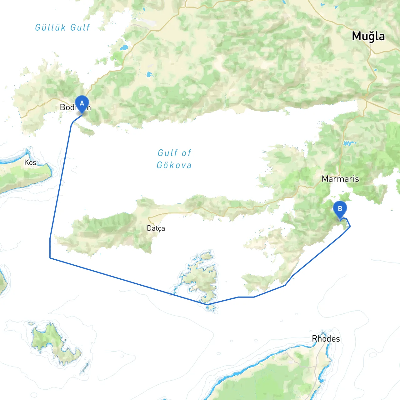
This itinerary takes you from the vibrant coastal town of Bodrum to the serene and picturesque Mugla. The route spans approximately 50 nautical miles and offers a delightful mix of beautiful landscapes, rich historical sites, and safe havens for shelter. This voyage is particularly suitable for experienced boaters seeking to explore the Aegean coastline, but it is also accessible for intermediate sailors familiar with coastal navigation.---#### **Departure: Bodrum, TR****Coordinates:** 27.4519° N, 37.0134° EBodrum, known for its stunning marina and lively atmosphere, is an excellent starting point. Before setting sail, ensure to check local weather conditions and gather the following essential information:1. **Weather:** Keep an eye on forecasts, as the winds can pick up swiftly.2. **Local Regulations:** Familiarize yourself with the marina guidelines—obtain any necessary permits for mooring.3. **Navigational Aids:** Utilize local charts and ensure you have updated electronic navigation systems like Savvy Navvy to monitor your route and any hazards.**Points of Interest:**- **Bodrum Castle:** A marvellous landmark that looms over the port, a quick visit before embarking can be rewarding.- **The Ancient Theatre:** A short taxi ride can take you to this historical site tucked into the hill, demonstrating the town’s rich culture.---#### **Route Section 1: Bodrum to Küçük Kargı Bay****Distance:** 10 NM **Coordinates:** 27.4660° E, 37.0167° NDeparting Bodrum, you will navigate around the peninsula and head toward Küçük Kargı Bay. Keep a lookout for local fishing boats and water taxis. - **Navigational Aids:** Pay attention to the lighthouse at the entrance of Bodrum Bay and follow the marked channel closely to avoid the shallows.- **Shelter Point:** This bay is popular for anchorage. It's well-protected and offers a perfect spot to sit out any inclement weather.---#### **Route Section 2: From Küçük Kargı Bay to Cennet Island****Distance:** 8 NM **Coordinates:** 27.4186° E, 37.0186° NNext, make your way towards Cennet Island, a great spot to take a break. The waters here are clear and ideal for swimming.- **Attraction:** Cennet Island offers lovely nature trails and beautiful vistas of the Aegean. Consider a swim and a picnic before setting off again.- **Hazards to Watch:** As you approach the island, be vigilant about nearby submerged rocks. Use your charts carefully.---#### **Route Section 3: Cennet Island to Orak Island****Distance:** 10 NM **Coordinates:** 27.5176° E, 37.0473° NAfter enjoying Cennet Island, set your course towards Orak Island. This passage crosses some heavily trafficked areas, so maintain a sharp lookout.- **Navigational Aids:** A foghorn and buoys will guide you, but navigating with your electronic charts is advisable for precision.- **Shelter Point:** Orak Island offers calm bays that are perfect for overnight anchorage, if desirable.---#### **Route Section 4: From Orak Island to Fethiye Bay****Distance:** 14 NM **Coordinates:** 28.5998° E, 36.6320° N (Fethiye Bay)This leg takes you to Fethiye Bay, a major navigation area with excellent facilities for boaters. Keep your wits about you as you navigate through several small islands.- **Points of Interest:** Fethiye is rich in history with various attractions, including ancient Lycian rock tombs visible from the water.- **Shelter Point:** Fethiye Harbour has all facilities, including fuel stations, restaurants, and medical assistance, should you need them.---#### **Final Leg: Fethiye Bay to Mugla****Distance:** 8 NM **Coordinates:** 28.2741° E, 36.7445° NAs you leave Fethiye Bay, the waters will begin to narrow, leading you to the striking town of Mugla. Entering this area, you will notice significant maritime traffic, including ferries and commercial vessels.- **Navigational Considerations:** The approaches to Mugla can be busy; ensure continual monitoring of VHF channels 16 for updates on shipping activity.- **Arrival:** Upon reaching Mugla, you’ll discover a charming town with a rich history and scenic views to explore after you dock.---### **Safety Recommendations**- Always wear life jackets and ensure your safety equipment is in order, including flares, a first aid kit, and a VHF radio.- Regularly check weather updates, especially in the early morning and late afternoon.- Keep your fuel levels high, and plan your refueling stops in advance. This voyage provides a mix of thrilling coastal sailing, sheltered anchorages, and the opportunity to explore both the natural beauty and cultural richness of the Turkish coast. By prioritizing safety and planning ahead with navigational tools, you'll ensure an enjoyable and memorable maritime adventure.

More routes from Bodrum to Mugla

No items found.