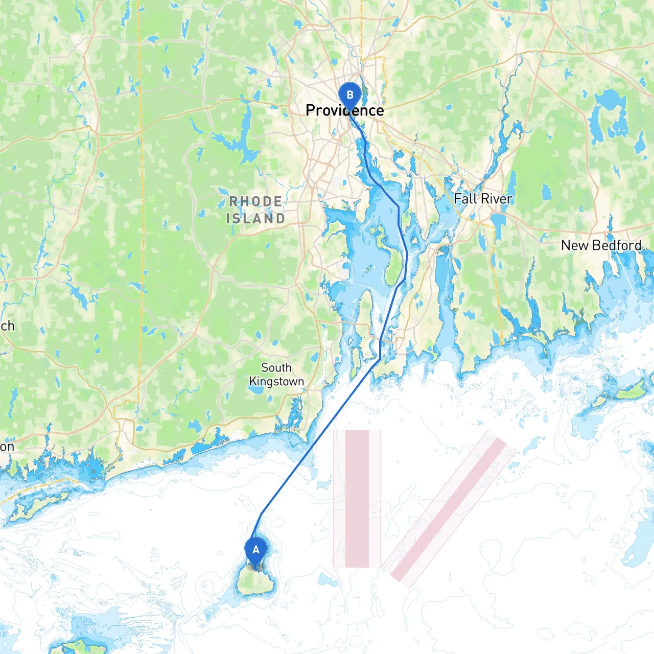
Starting Point: Block Island, Rhode Island, USA Ending Point: Providence, Rhode Island, USA
This route from Block Island to Providence is a delightful coastal journey suitable for both seasoned sailors and recreational boaters. Stretching approximately 20 nautical miles, this passage takes you through scenic waters while offering a chance to experience the natural beauty, historical landmarks, and hidden gems of the Rhode Island coastline. This itinerary prioritizes safety while ensuring an enjoyable adventure.
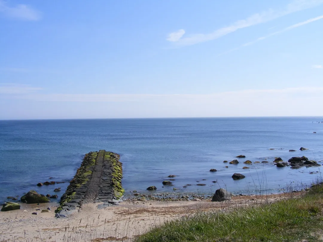
1. Block Island - Departure: Before you leave, take a moment to enjoy the stunning views from Mohegan Bluffs or visit the Southeast Lighthouse. - Shelter: Block Island harbor offers a safe stopping point if the weather suddenly changes.
2. Southwest Point - As you head out, steer towards Southwest Point, which has a historic significance and is marked by appropriate navigational aids.
3. Point Judith - After navigating out of Block Island Sound, you’ll pass by Point Judith, known for its fishing fleet. Consider stopping by Point Judith Lighthouse for a photo-op. - Navigational Aids: The Point Judith Lighthouse (USA 43187) is a critical marker to aid in your navigation.
4. Narragansett Bay Entrances - Upon nearing the entrance to Narragansett Bay, be vigilant of the tidal currents, as these can be strong and may affect your vessel’s maneuverability. - Important Note: Always monitor local tide charts, which can change swiftly.
5. Bays of Refuge - Strong's Neck and Wickford Harbor: If the seas become choppy, consider diverting to these areas for safe harbor. Wickford offers charming shops and dining options if you're looking to stretch your legs. - Bays of Refuge: Calm waters are more abundant here, providing a welcome break and an opportunity to explore.
6. Providence River - As you approach Providence, keep an eye out for the iconic skyscrapers and the beautiful waterfront park area. - Navigational Aids: Be aware of the markers indicating the channel entrance into the Providence River. Maintain awareness of local traffic, including ferries and recreational vessels.
To assist you further in your navigation and safety, consider utilizing the following apps:
This route offers a beautiful mix of nature and commerce, with the perfect balance of adventure and safety. It’s ideal for family trips, leisurely sails, or even more experienced cruisers looking to enjoy a day on the water with minimal risk. The tranquil waters of Narragansett Bay, the charm of local ports, and the various options for shelter combine to make this a must-do trip for any boater in the region. Enjoy the journey and safe travels!