
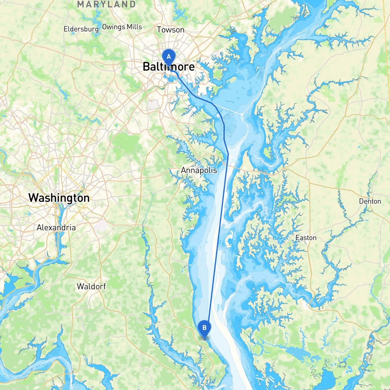
This route takes you from the bustling city of Baltimore down through the scenic Patapsco River and into the scenic waters leading into the Chesapeake Bay. It's perfect for both novice and experienced boaters looking to enjoy a day on the water, making stops to explore the natural beauty and rich history of Maryland.
Begin your journey at the Baltimore Inner Harbor, a vibrant spot filled with maritime history. As you set your course, be aware of vessel traffic and maintain a steady speed to ensure a smooth exit from the harbor. Keep an eye on navigation aids like the Baltimore Harbor Navigational Buoys to keep you safely on course as you leave the clutter of the dock area.
1. Fort McHenry National Monument: Just beyond the harbor, take a moment to appreciate the historic fort that inspired "The Star-Spangled Banner." Your approach can afford you a unique view of the fort's star-shaped design.
2. Patapsco River: The river itself is rich in history and offers a diverse array of wildlife. Be mindful of local fishing vessels and canoes, particularly closer to the shallow waters near the riverbanks.
3. North Point State Park: A potential stop for a relaxing break, this park offers lovely picnic spots and trails. It’s located near the mouth of the Patapsco, providing a sheltered bay area should conditions worsen.
As you exit the Patapsco River and enter the Chesapeake Bay, pay close attention to the navigational buoys marking channels and shallow areas. Always maintain a lookout for other vessels, particularly during weekends when the Bay can become busy with kayakers and recreational boats.
1. Sparrows Point: A great place to anchor if the weather starts to take a turn for the worse. The nearby shoreline can provide an excellent refuge from heavy winds.
2. Hammond Creek: This secluded creek is a fantastic hideaway for boaters seeking shelter from inclement weather with plenty of space to maneuver your boat safely.
3. Patuxent River Mouth: This area is wider and provides ample room for anchoring while you assess weather conditions or take a break.
As you transition south along the Chesapeake Bay, look for the entrance to the Patuxent River, where you’ll head towards St. Leonard. The gentle current makes for an enjoyable approach. Keep an eye on the various marinas along this stretch; though primarily aimed at fishing boats, they offer services and provisions for transient boaters and may have fuel available.
1. Navigational Aids: The Patuxent River is well-marked, but as you get closer to St. Leonard, some areas may be shallow. Refer to your charts and local publications for any changes in depth.
2. Regulations: Be aware of local laws, especially regarding fishing and wildlife protection, as they're strictly enforced. The area has seasonal speed limits in certain zones, particularly those near wildlife refuges.
Once you arrive at St. Leonard, you'll find a charming community with amenities for boaters. Considering your preparation and attention to safety protocols, this trip will not only be enjoyable but also a rewarding journey into the heart of Maryland's beautiful waterways.
To ensure you have the best navigational tools at your fingertips, you might consider downloading:
This planned trip promises a blend of adventure and safety, making for a delightful escape on the waters of Maryland. Safe travels!