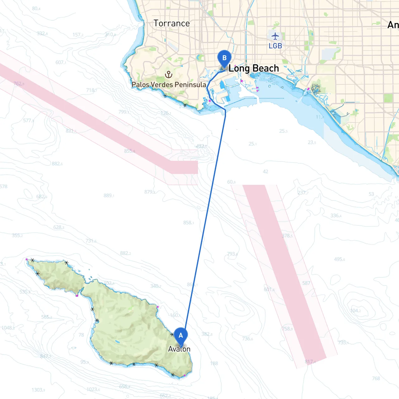
Route OverviewYour journey from Avalon, CA, to Los Angeles, CA, covers approximately 25 nautical miles across the beautiful and diverse waters of Southern California. This route offers stunning views of the coastline, fascinating landmarks, and opportunities for both exploration and shelter in the event of inclement weather. It's particularly suited for intermediate to experienced boaters who are comfortable with coastal navigation and aware of changing sea conditions.
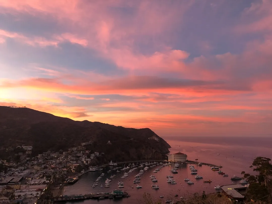
Start Point: Avalon, CAAvalon, located on Santa Catalina Island, is not only a picturesque starting point but it also provides a vibrant social atmosphere with shops, restaurants, and lively waterfront activities. Before departing, ensure you check the weather updates, as conditions can change rapidly in this area.
Main Route Considerations1. Navigational Aids: As you head west from Avalon, pay attention to navigational buoys marking safe passages. Notable aids include: - The Catalina Island Light located on the northern tip of the island, aiding in the transition to open waters. - Follow the green and red buoys situated along the approach to Los Angeles Harbor, which guide you clearly into port.
2. Points of Interest: - Little Island (Bird Rock): As you navigate away from Avalon, you may wish to make a brief stop to observe the rich marine life and sea birds. This area is a great photo op and provides shallow waters to drop anchor in calm conditions. - Crescent Bay: Located before you reach the Los Angeles coastline, this bay is a popular spot for boaters to take shelter if the weather turns sour. The calm waters and scenic backdrop make it a perfect pit stop for a quick break and exploration. - Palos Verdes Peninsula: As you approach the mainland, the stunning cliffs of Palos Verdes are an awe-inspiring sight. Keep an eye out for sea life, including dolphins and sea lions.
Safety Tips and Weather Considerations
Ending Point: Los Angeles, CAAs you arrive at Los Angeles, the transition from natural vistas to an urban backdrop presents a unique experience for boaters. Los Angeles has multiple marinas to choose from, and each provides excellent facilities and services for dockage, fueling, and restaurants. The Los Angeles Harbor is a bustling hub with access to everything you might need, along with beautiful views of the skyline.
Boating Apps and Navigation ToolsTo enhance your navigational experience and ensure safety, I recommend using the following apps:
This trip from Avalon to Los Angeles isn’t just a means to an end; it’s an adventure filled with remarkable sights and the potential for discovering the rich marine environment of Southern California. By prioritizing safety through thoughtful planning, you'll savor every moment on the water while remaining prepared for any situation.