
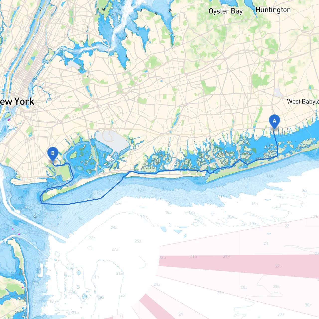
Pilotage Plan from Amityville, NY to Brooklyn, NY
Route Overview This vessel's journey from Amityville to Brooklyn will traverse some picturesque waterways, revealing a blend of natural beauty and urban landscape. Suitable for intermediate to experienced boaters, this route will demand attention to navigation, safety, and local regulations. The overall distance is around 25 nautical miles, and the travel time could range from 3 to 5 hours, depending upon conditions and speed.
Starting Point: Amityville, NY (Long/Lat: -73.4226, 40.6633)
Prior Consideration: Ensure your vessel is prepped: sails are mended, fuel tanks are full, and all safety equipment—like life jackets and flares—is onboard.
Hazards: Departing this region, be aware of local boat traffic and shallower waters as you navigate through the Amityville River. The area may have powerboats moving quickly, especially on weekends.
Location to note: Just north, off the river, is Amityville Beach—though cruising there is not an option, it can offer a nice view as you head out.
Navigational Elements: Your first objective is making it to the Great South Bay. As you pass through the Amityville River’s mouth, watch for the buoy markers indicating the channel—or risk running aground in the shallow areas.
Shelter Point: If conditions worsen, look to the north for a haven at Bay Shore, which offers a larger marina.
Points of Interest: After navigating to the bay, consider a brief stop at Fire Island for a stretch of relaxation on the beach or a snack at one of the local eateries. This spot is particularly enjoyable in good weather.
As you continue heading west, you’ll be approaching Jamaica Bay, a critical bio-preserve area teeming with wildlife.
Hazards: Be alert for strong tidal currents as you enter Jamaica Bay—proper tide charts will be your best friend here. Maintain awareness of shoals and buoys marking the channels.
Interesting Sites: En route, you can explore Breezy Point and Jacob Riis Park, both enticing for their stunning beach scenery. While you can't dock directly in these natural areas, the views are rewarding, and a quick detour allows for some sightseeing.
Final Leg: Heading toward your destination, the Brooklyn waterfront is within reach. Keep an eye out for navigation marks and be mindful of local traffic regulations, especially as you enter the East River.
Hazards and Regulations: The East River can be busy with commercial shipping traffic. Exercise caution, adhering to the navigation rules. Watch out for larger vessels in the shipping lanes, and do not cross or linger in their paths. Be wary of the tides as they can be significant around the Brooklyn Bridge and past the Manhattan skyline.
Destination: Brooklyn, NY (Long/Lat: -73.9182, 40.6085)
As you approach the Brooklyn shoreline, several marinas will be available for docking. Popular spots include the Brooklyn Bridge Park if you fancy an urban stroll or check out DUMBO for chic eateries and shops overlooking Manhattan.
Safeguards on Arrival: Be mindful of restricted areas around docks, and always announce your intentions on the radio to avoid mishaps with other vessels.
This journey embodies a beautiful blend of tranquility and excitement, perfect for those looking to explore New York’s waterways. With consistent observation and adherence to navigational rules, you’re sure to enjoy an unforgettable experience on the water. Safe travels!