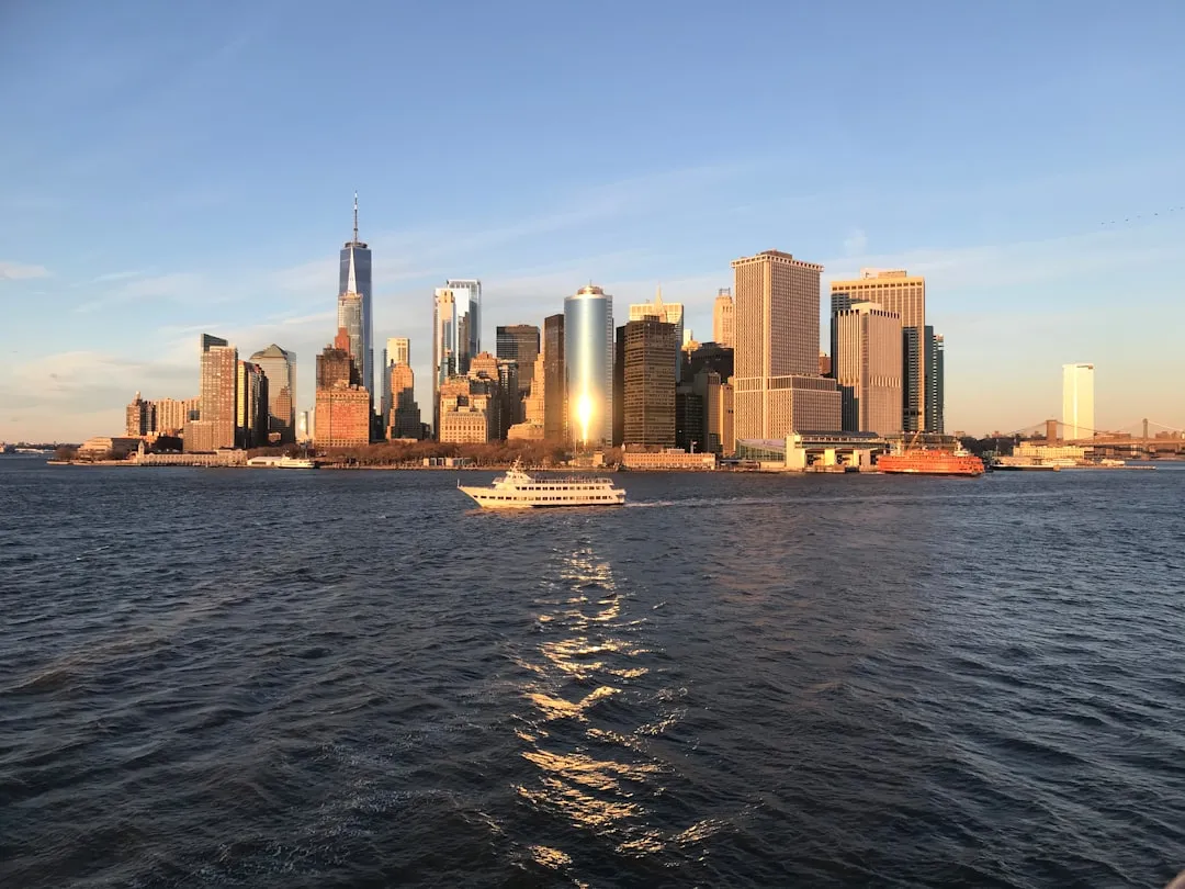
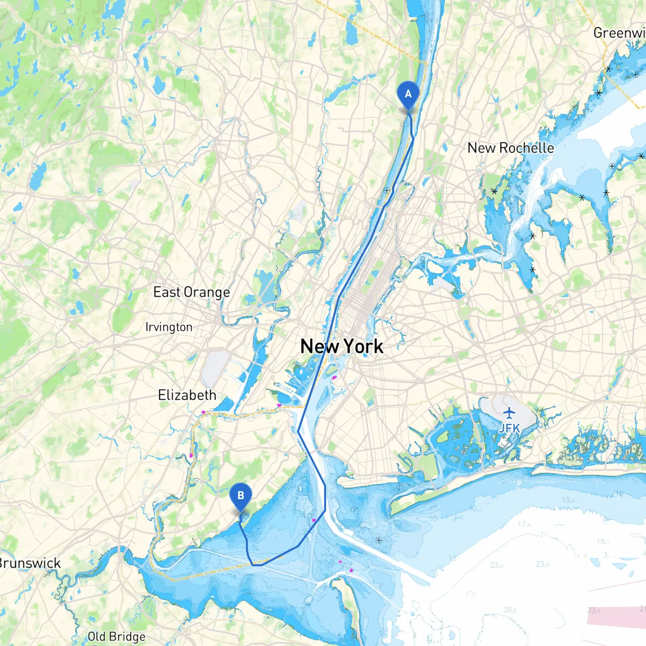
Your adventure begins at Alpine, New Jersey, based on its coordinates (longitude: -73.9182, latitude: 40.9458). Launch your vessel at the Hudson River, a scenic waterway that offers plenty of opportunities for exploration. This trip will lead you to Staten Island, New York, located at coordinates (longitude: -74.1398, latitude: 40.5428). This journey, while short in distance, keeps you engaged with vibrant waterfront landscapes, bustling marine activity, and potential shelter spots, ensuring a safe and enjoyable outing.
As you set out, there are several noteworthy spots along the way:
1. Palisades Interstate Park: Just south of Alpine, this stunning natural reserve offers picturesque views of the Palisades cliffs. Ideal for a quick pause to enjoy the vista before continuing your journey.
2. Fort Lee Historic Park: Located across the river in Fort Lee, this park has historical significance from the Revolutionary War and provides beautiful spaces to stretch your legs or have a picnic.
3. Haverstraw Bay: A fantastic place for a stopover, this expansive bay offers good shelter from rough weather with deeper waters and ample space for anchoring. If the weather turns inclement, heeding refuge here could be wise.
4. Croton Point Park: As you approach the Croton River, consider navigating through this park’s adjoining waters. It's a serene setting with amenities like picnic areas and hiking trails, begging for exploration.
5. Liberty State Park: Before entering Newark Bay, this iconic park boasts views of the Statue of Liberty and Ellis Island, perfect for a sightseeing break.
6. Newark Bay: Offers refuge and shelter with its many coves. As a boater, you can find calm waters, making it a great spot to wait out any bad weather.
The route itself can be straightforward, but requires attention to local tides, currents, and navigational aids:
With this pilotage plan in hand, you're set to embark on a scenic and enjoyable journey from Alpine to Staten Island. Embrace the experience, stay vigilant with your navigation, and have a fantastic time on the water!