now

Proud to support our Heroes
was
£89.00
Savvy Navvy is proud to support our emergency services, NHS, social care sector and armed forces. As part of the Blue Scheme you save 50% off your Savvy Navvy annual subscription, in year one.

Features
Powerful Features to Supercharge Your Navigation.

savvy Charts
We licence UKHO, NOAA and other official hydrographic office charts from around the globe. Our designers build savvy charts from the ground up to show essential marine information with a clean and easy-to-view interface.


Tidal Data
View local tide data from over 8,000 tidal stations around the world. Easily view high and low tide with the savvy tidal graph and check tidal streams with our visual chart overlay.

GPS Active Tracking
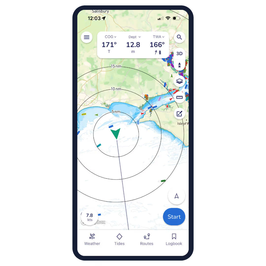
View your live position and check your Course Over Ground (COG) and Speed Over Ground (SOG) instantly. Circles around your location quickly show the distance between your boat and key features around you.


Weather Forecast
Scroll through the weather forecast to view the changing wind direction, speed and weather conditions.

Waves
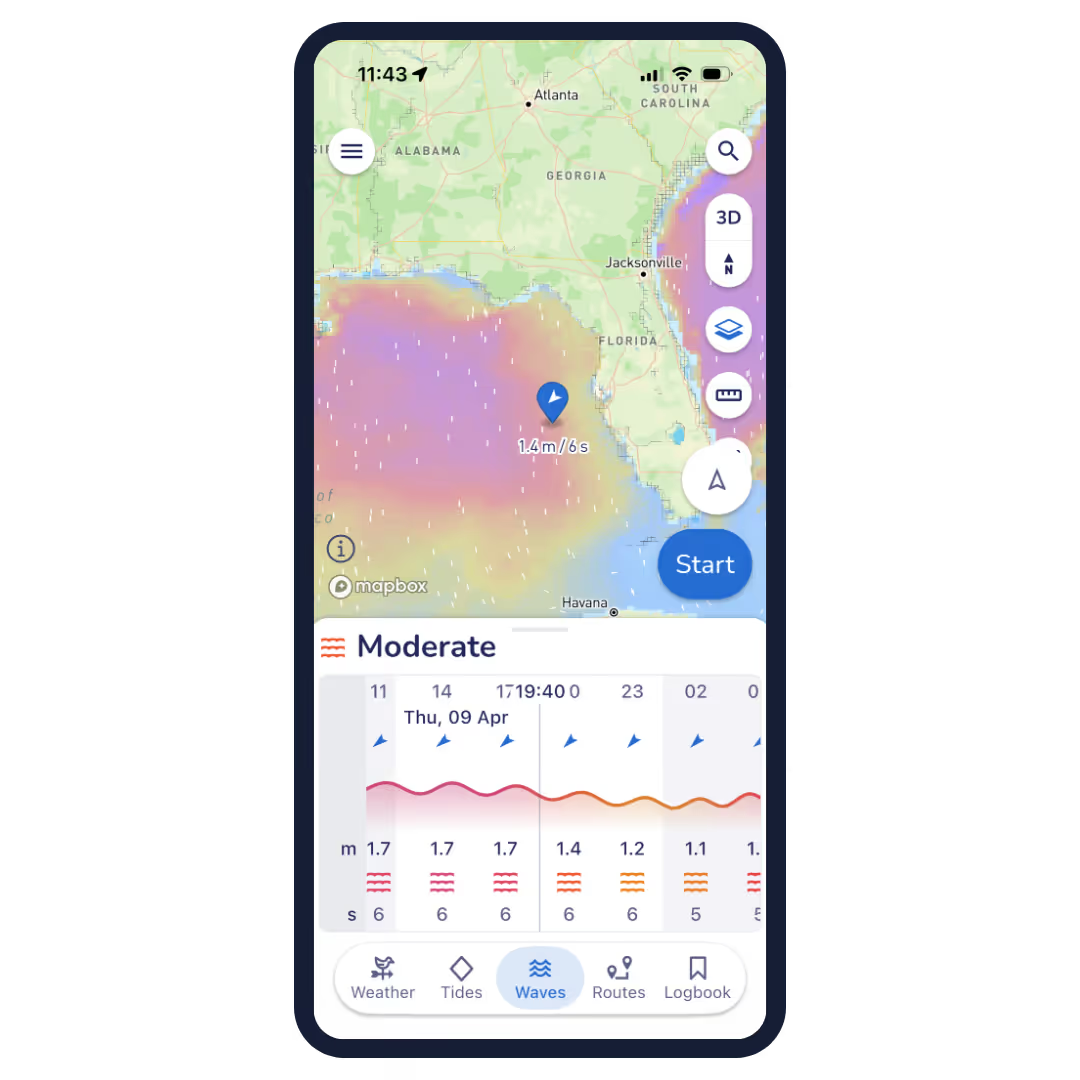
Our Waves feature brings sea state to life, combining wave height, period and direction to give you a simple comfort rating—so you can quickly see how conditions will really feel on the water, not just how they look on a forecast.

NMEA Connect
NMEA Connect brings your boat’s instruments straight into Savvy Navvy, streaming real-time data like depth, wind, speed and AIS alongside our smart routing—so everything you need is in one place, right in your pocket.

Route Planning
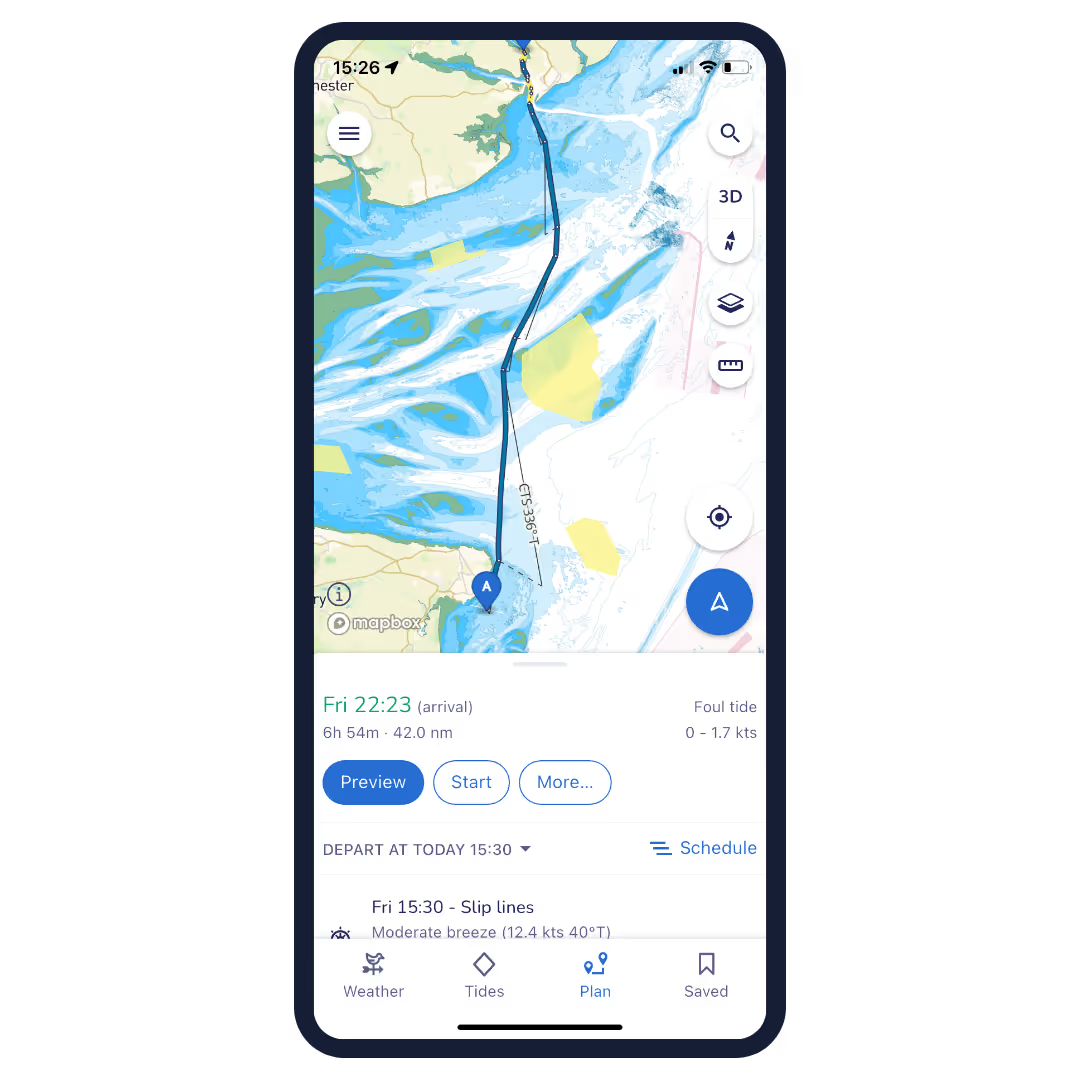
Plot, move and delete way-points with ease. Then savvy navvy will plan the best route based on the departure time, chart, weather, tide and boat data. Export your route for use with your chart plotter.

Live Location Sharing
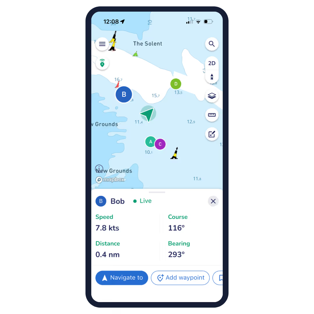
See your friends on the water and share your position back, all from within the navigation chart you're already using. Start a sharing session, share your link, track each other in real time, and keep someone onshore in the loop. Recipients don't need a Savvy Navvy subscription to view your location.
Even More Amazing Features!

Course To Steer
See tidal stream information and get a recommended Course To Steer (CTS) on your screen with a detailed preview of each section of your route.

Marina & Anchorage Information
Check the seabed, weather protection, amenities, number of berths, maximum boat length, contact information, and more, for marinas and anchorages. Plan ahead for a better night’s sleep!

Night & Satellite Modes
Protect your night vision with savvy night mode and use satellite overlay to take a more detailed look at marinas and anchorages.

Offline Charts & Weather
Download chart and weather data for use offline. Save chart packs for the areas where you’re sailing so you can continue to use all your favourite savvy navvy features even when sailing off-grid.

Export Routes
Plot your route with savvy navvy then export your route to a GPX file. This can be used with your onboard chart plotter for active navigation.

Dedicated Customer Support
We have a dedicated team on-call within the savvy navvy app to answer any questions you have, wherever and whenever you need us.


FAQS
Frequently Asked Questions.
Have questions? We’ve answers. If you can’t find what you're looking for? Check out our knowledge base or feel free to get in touch
Can you calculate my fuel consumption?

How can I cancel my free trial?
What charts are included?
Can I use it offline?